
AI-generated illustration; not a photograph of the reported event.
- calendar_today November 1, 2026
Uncovering Whitehorse’s Overlooked Mining Past
Tim Green, a Whitehorse resident and retired engineer, is on a mission to chronicle and map the city’s often-overlooked mining and exploration history. Combining a passion for local history with technical prowess, Green is uncovering forgotten remnants of copper mining activity that date back over a century.
Exploring Off the Beaten Path
Much of the evidence of Whitehorse's early mining efforts lies hidden in the forest, away from main trails. At sites such as the far side of the Valerie Trail off the Copper Haul Road, visitors must veer away from established paths and cross soft, mossy ground and dense brush to find proof of past attempts to mine copper. Deteriorated lumber, old rock piles, and holes dug into rock faces offer glimpses into these historic efforts.
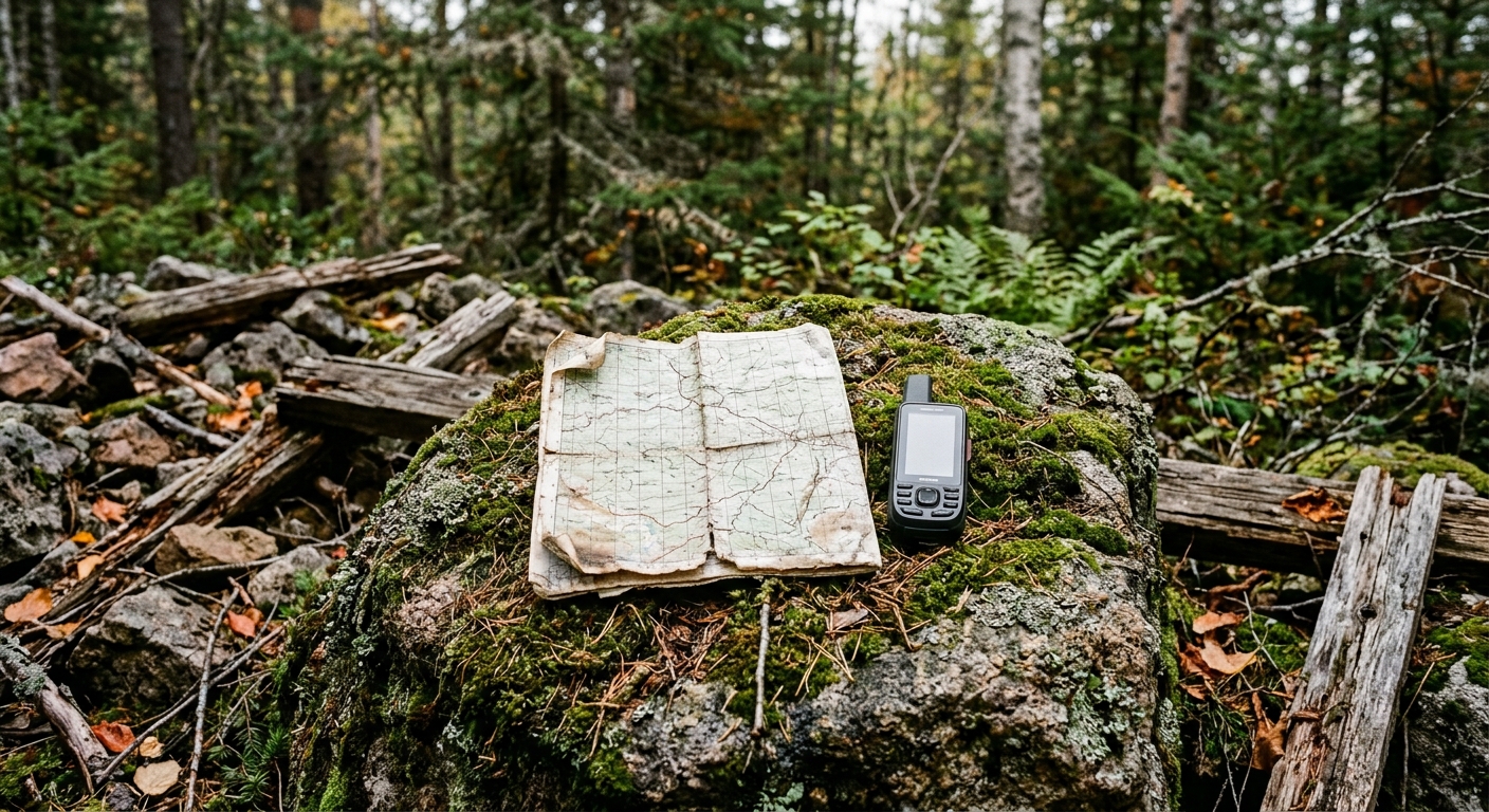
Green’s expeditions often involve carefully navigating terrain that he suspects has remained untouched for 120 years. He uses hand-drawn maps from the early 1900s, along with modern surveying technology, to guide his search, cross-referencing these resources to identify locations where mining once took place.
From Hand-Drawn Maps to Digital Mapping
To rediscover these forgotten mining sites, Green employs a unique blend of historic documentation and cutting-edge technology. He draws upon a trove of early 1900s maps—including a set of hand-drawn maps created by geologist Richard George McConnell—sourced from the Yukon Energy, Mines, and Resources library in Whitehorse. Although these maps indicate tunnels and mining sites on rock faces, they are not geolocated, and many exploration sites are missing from official survey plans.
To bridge these gaps, Green cross-references the old hand-drawn maps with original survey documents, contemporary satellite imagery from the Yukon government, and geospatial information from the City of Whitehorse. By synthesizing this information, he is able to construct his own detailed maps to identify and visit mining sites that would otherwise remain forgotten.
“It's quite useful to take all the old information, cross it with new information and make it so I can use it to wander today to find stuff from yesterday,” said Green.
Bringing Local History to Life
Green’s efforts extend beyond personal discovery. He documents his findings on a blog and has considered creating physical markers to help others explore these historic locations. For Green, mapping mining history is also about making Whitehorse’s past accessible and engaging for others.
He is often joined by friend and fellow history enthusiast Julie Ourom, who sees their explorations as an opportunity to learn about rarely seen aspects of local heritage. “I think it’s a good excuse to get out and see things that most people don’t even know exist,” Ourom remarked. “You can feel slightly smug that way, because you’ve been able to learn things that are just so wonderful and such a big part of our history here.”
Sharing Knowledge with the Next Generation
Green has also involved school children in his explorations, aiming to foster an appreciation for Yukon’s mining history among younger generations. On one occasion, students left with their pockets full of rocks collected from the sites, tangible souvenirs of Whitehorse’s copper mining days.
Conclusion
Through a combination of historic research, technological mapping, and community engagement, Tim Green is shining a light on Whitehorse’s under-documented mining legacy. His project offers residents and visitors alike the chance to understand and experience a significant—yet often hidden—chapter of Yukon history.
Source: cbc.ca.


